Flood mapping for disaster risk reduction: Obtaining high-resolution imagery to map and model flood risks in Dar es Salaam (Tanzania)
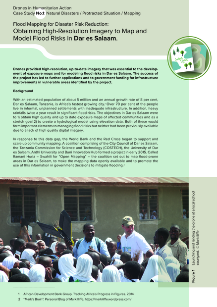
With an estimated population of about 5 million and an annual growth rate of 8 per cent, Dar es Salaam, Tanzania, is Africa’s fastest growing city.1 Over 70 per cent of the people live in informal, unplanned settlements with inadequate infrastructure. In addition, heavy rainfalls twice a year result in signifi cant fl ood risks. The objectives in Dar es Salaam were to 1) obtain high quality and up to date exposure maps of aff ected communities and as a stretch goal 2) to create a hydrological model using elevation data. Both of these would form important elements to managing fl ood risks but neither had been previously available due to a lack of high quality digital imagery